Map Your Way to the Future: Modern Cartography Gets a Tech Upgrade
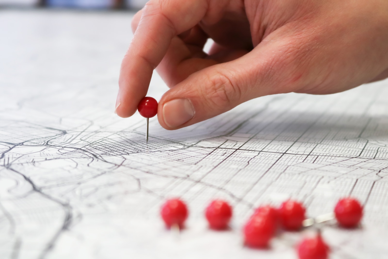
Cartography has come a long way from the days of hand-drawn maps and atlases. Today, modern cartography has evolved to include a wide range of innovative technologies, from AI and big data to satellites and sensors. These cutting-edge tools have revolutionized the way we navigate the world around us, allowing us to create more accurate and detailed maps than ever before.
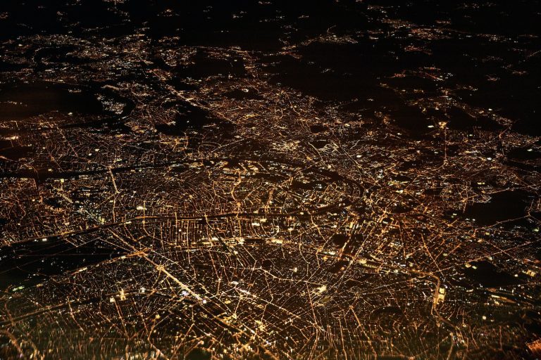
At the heart of modern cartography is the use of advanced technologies to collect and analyze data. With the help of AI and big data, cartographers can now process vast amounts of information in real-time, allowing them to create maps that are more accurate and up-to-date than ever before. Meanwhile, the use of satellites and sensors has made it possible to capture detailed information about the Earth’s surface, from the heights of mountains to the depths of the oceans.
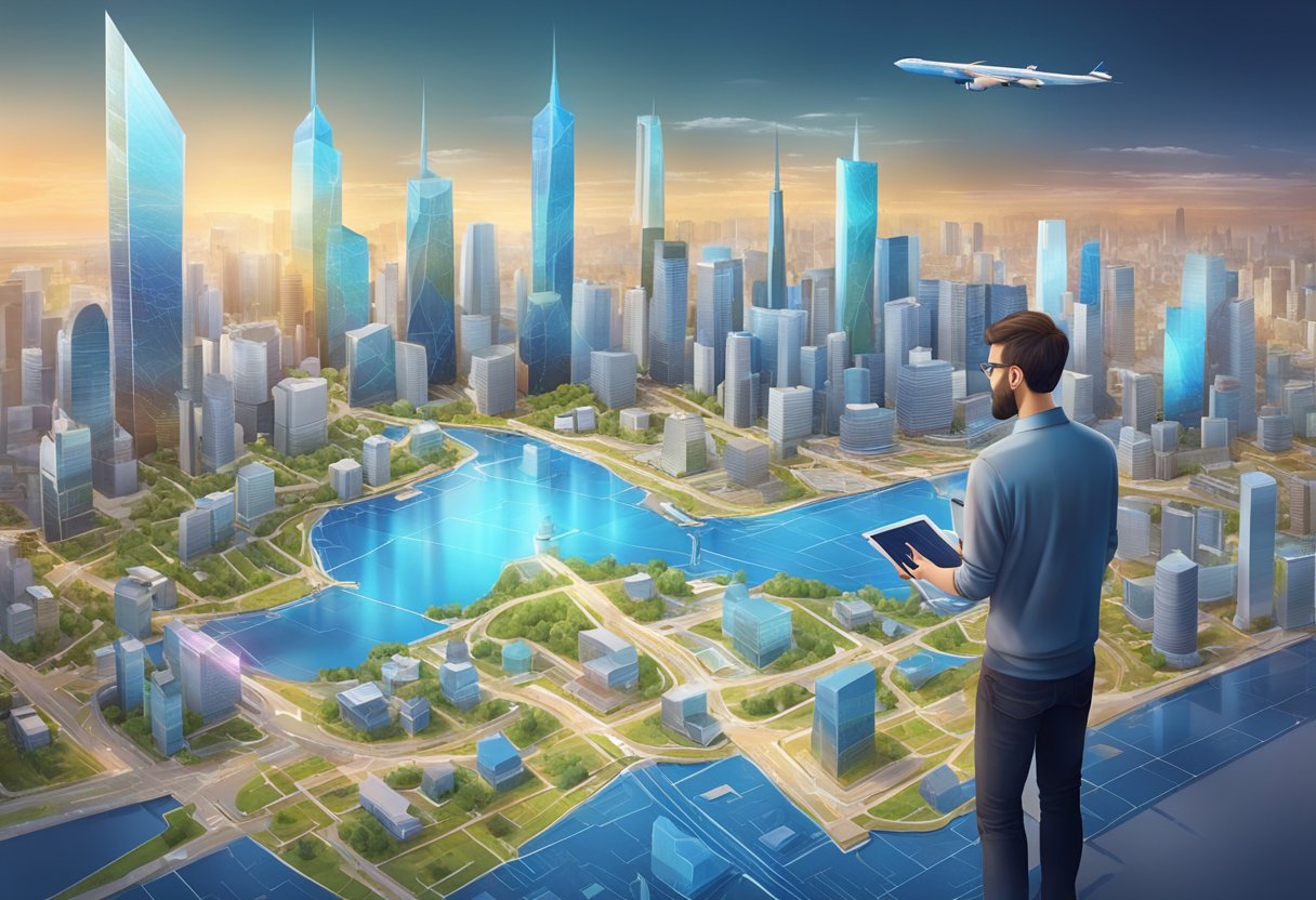
So what does the future of cartography hold? With the pace of technological innovation showing no signs of slowing down, it’s safe to say that we can expect to see even more exciting developments in the years to come. From 3D mapping to real-time traffic updates, modern cartography is set to transform the way we navigate the world around us.
Key Takeaways
- Modern cartography has evolved to include a wide range of innovative technologies, from AI and big data to satellites and sensors.
- The use of advanced technologies has allowed cartographers to create more accurate and up-to-date maps than ever before.
- With the pace of technological innovation showing no signs of slowing down, we can expect to see even more exciting developments in the future of cartography.
Mapping the New Age: AI, Big Data, and Carto-Nerds Unite
https://www.youtube.com/watch?v=cWjfpTz_2YU&embed=true
As cartographers, we’re always looking for ways to improve our craft. And with the rise of Artificial Intelligence (AI) and Big Data, we’re finding new and exciting ways to map the world around us. So let’s dive into how these technologies are changing the game.
Artificial Intelligence and Machine Learning: The Brainy Bunch
AI and Machine Learning are making it easier than ever to create accurate and detailed maps. By analyzing vast amounts of geospatial data and satellite imagery, these technologies can quickly identify patterns and create maps that are both detailed and up-to-date. And with the use of GIS technology, we can overlay this data with other information, such as population density or land use, to create even more informative maps.
Big Data and Cartography: A ‘Terrabyte’ of Possibilities
The amount of data available to us is staggering, and with Big Data analytics, we can use this information to create maps that are more detailed and accurate than ever before. By analyzing user behavior and other data points, we can create maps that are tailored to specific audiences. For example, a map showing the best hiking trails in a given area might be more useful to outdoor enthusiasts than a map showing the location of every Starbucks.
Interactive Maps and User Engagement: Clicks Ahoy!
Interactive maps are becoming increasingly popular, and for good reason. By allowing users to interact with the map, we can create a more engaging and informative experience. Whether it’s zooming in on a specific location or clicking on a point of interest for more information, interactive maps are a great way to keep users engaged and informed. And with the rise of geovisualization and user studies, we can continue to improve the user experience and create maps that are both informative and fun to use.
In conclusion, the future of cartography is looking bright. With the help of AI, Big Data, and interactive maps, we’re able to create maps that are more accurate, informative, and engaging than ever before. So let’s embrace these technologies and continue to push the boundaries of what’s possible in the world of cartography.
From the Sky to Your Screen: Satellites, Sensors, and Serious Science
https://www.youtube.com/watch?v=ror4P1UAv_g&embed=true
As cartographers, we’ve come a long way from the days of paper maps and compasses. Today, we have access to cutting-edge technology that allows us to create maps that are more accurate, detailed, and interactive than ever before. In this section, we’ll explore how satellites, sensors, and other innovations in modern cartography are changing the way we navigate the world.
Satellite Imagery and Geospatial Data: The High-Flying Data Party
Thanks to satellite imagery, we can now see the world from a bird’s-eye view. Whether it’s Google Maps or NASA, we can access high-resolution images of almost any place on Earth. With these images, we can create detailed maps that show everything from the location of buildings to the density of vegetation. And with geospatial data, we can analyze and interpret this information to gain insights into everything from climate change to urbanization.
Sensors and Real-Time Mapping: The ‘Now’ in Navigation
Sensors are changing the way we navigate our world. From GPS to lidar technology, sensors are allowing us to create maps that are not only accurate but also up-to-date in real-time. With sensors, we can track everything from traffic patterns to weather conditions, and use this information to create maps that are more useful and relevant than ever before.
Privacy and Security: The ‘Hide and Seek’ of Modern Maps
As cartographers, we have a responsibility to protect the privacy and security of our users. With the rise of geospatial visualization and spatial data analysis, we must be vigilant in ensuring that our maps do not inadvertently reveal sensitive information. We must also be aware of the potential for data security breaches, and take steps to protect our users’ information.
In conclusion, the future of modern cartography is exciting and full of possibilities. With innovations like satellite imagery, sensors, and real-time mapping, we are able to create maps that are more accurate, detailed, and interactive than ever before. But we must also be mindful of the privacy and security concerns that come with these new technologies. By balancing innovation with responsibility, we can continue to create maps that help us navigate our world with confidence.
Frequently Asked Questions

How did cartographers survive before GPS? Did they just wander around aimlessly?
Well, we didn’t exactly wander around aimlessly, but we did have to rely on a variety of tools and techniques to create maps. Cartographers used a combination of compasses, sextants, and other navigational instruments to determine the position of landmarks and create accurate maps. It was a time-consuming process, but it was the best we had at the time.
If I print a map from the internet, does that make me a modern cartographer or just really good at clicking ‘print’?
Sorry to burst your bubble, but clicking ‘print’ doesn’t quite make you a modern cartographer. While it’s true that technology has made it easier to create and print maps, there’s a lot more that goes into cartography than simply hitting a button. Modern cartographers use a variety of tools and techniques to create accurate and detailed maps that are used for everything from navigation to scientific research.
In the cartography world, who decided ‘north’ gets to be at the top? What’s wrong with south?
Ah, the age-old question. The idea of ‘north’ being at the top of a map is actually a convention that dates back centuries. It’s believed that early mapmakers in Europe chose to place north at the top of maps because that was the direction of the North Star, which was used for navigation. As for why south isn’t at the top, well, there’s nothing inherently wrong with it. It’s just not the convention that most people are used to.
With all this tech, do cartographers still get lost, or are they just ‘exploring’?
Believe it or not, even with all the technology at our disposal, cartographers can still get lost from time to time. But don’t worry, we’re not just aimlessly wandering around. We use a variety of tools, including GPS and satellite imagery, to help us navigate and create accurate maps.
Are cartography job interviews done via treasure hunt, and do I need my own parrot?
As much as we’d love to say yes, job interviews for cartography positions are typically a bit more traditional. That being said, having a parrot probably wouldn’t hurt your chances.
What happens when a cartographer forgets to scale? Do they end up with a map or just modern art?
Forgetting to include a scale on a map is definitely not ideal, but it doesn’t necessarily mean the map is useless. Cartographers can use a variety of techniques, including measuring distances using satellite imagery, to estimate distances and create accurate maps. As for whether the map would end up as modern art, well, that’s up for debate.