Map Your Way to Fame: The Legendary Lives of Cartographers
Mapping Legends: The Lives of Influential Cartographers is a fascinating topic that explores the contributions of some of the greatest mapmakers in history. From ancient times to the present day, maps have played an essential role in our lives, shaping our understanding of the world around us. Cartography is both an art and a science, and the people who have dedicated their lives to it are true legends.

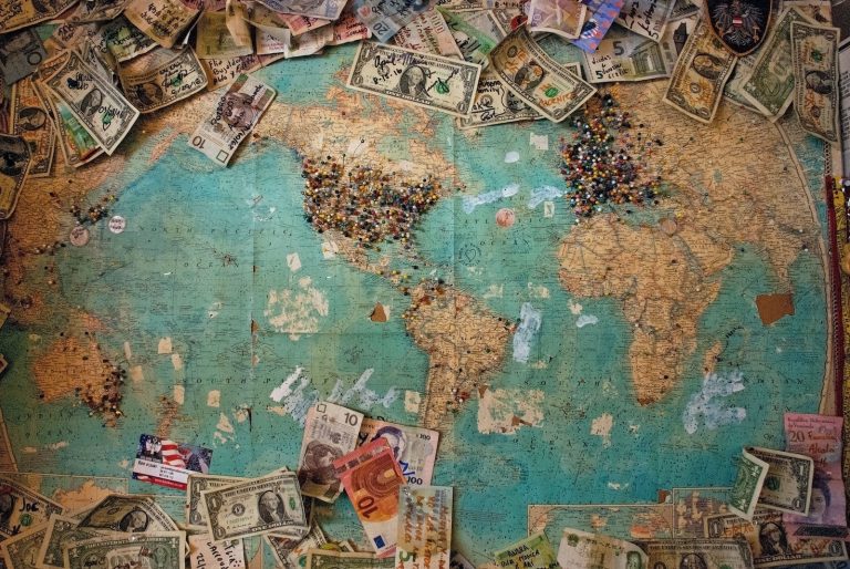
Charting the Course: A History of Mapmaking takes us on a journey through time, exploring the evolution of maps and cartography. From the earliest cave paintings to the most advanced digital maps, we see how maps have changed over time, and how they have shaped our understanding of the world. We also learn about some of the most influential cartographers in history, and how their work has influenced the way we see the world.
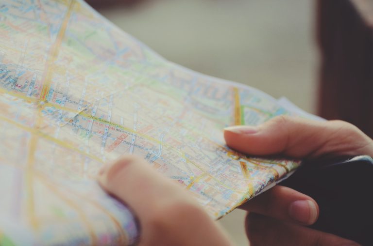
The Art and Science of Cartography is a fascinating topic that explores the intersection of art and science. Cartographers use a wide range of techniques to create their maps, from hand-drawn sketches to advanced computer graphics. They must also have a deep understanding of geography, history, and culture, in order to create accurate and meaningful maps. Frequently Asked Questions about cartography and maps are also explored, such as “How do maps work?” and “What is the difference between a map and a globe?”.
Key Takeaways
- Mapping Legends: The Lives of Influential Cartographers explores the contributions of some of the greatest mapmakers in history.
- Charting the Course: A History of Mapmaking takes us on a journey through time, exploring the evolution of maps and cartography.
- The Art and Science of Cartography is a fascinating topic that explores the intersection of art and science.
Charting the Course: A History of Mapmaking
https://www.youtube.com/watch?v=fl1VT_thaOw&embed=true
As cartographers, we are the navigators of the world, charting the course of humanity through the ages. From ancient Babylonian beginnings to modern-day GIS systems, our maps have been the backbone of exploration, science, and map use. Let’s take a journey through time and explore the legends of the legend in the history of cartography.
Ancient Origins and Babylonian Beginnings
Our story begins in Çatalhöyük, Turkey, where the earliest known map was discovered. Created around 6200 BCE, this map depicts the village and its surrounding landscape. Fast forward to the Babylonian Empire, where the oldest surviving world map was created on a clay tablet in 600 BCE. The map, known as the Imago Mundi, shows Babylon at the center of the world, surrounded by a circular ocean.
Navigating Through the Ages: Greeks to Renaissance
The Greeks were the next to make significant contributions to cartography. Anaximander created the first known map of the world in 550 BCE, while Eratosthenes calculated the Earth’s circumference in 240 BCE. During the Middle Ages, maps were used primarily for navigation, and the first portolan charts were created. The Renaissance brought about significant advancements in cartography with the creation of the Mercator projection by Gerardus Mercator and the world map by Martin Waldseemüller.
Modern Mapping: From Paper to Pixels
As we entered the 20th century, cartography evolved from paper maps to digital maps. The introduction of Geographic Information Systems (GIS) revolutionized the field, allowing us to create more accurate and detailed maps. The International Cartographic Association was formed in 1959 to promote cooperation between cartographers worldwide. Today, we continue to innovate with the creation of thematic maps and the use of spatial information.
Legends of the Legend: Notable Names in Cartography
As cartographers, we stand on the shoulders of giants. Abraham Ortelius created the first modern atlas in 1570, while Herman Moll was known for his detailed maps of North America. Martin Behaim created the first globe in 1492, and Al-Idrisi created a world map for King Roger II of Sicily in 1154. These legends of the legend have paved the way for modern cartography, and we are honored to follow in their footsteps.
So there you have it, a brief history of mapmaking. From Babylonian clay tablets to modern-day GIS systems, we have come a long way. As cartographers, we continue to chart the course of humanity, creating maps that help us navigate the world around us.
The Art and Science of Cartography
https://www.youtube.com/watch?v=FUSGZ2zBYG0&embed=true
As cartographers, we are both artists and scientists. We use our creativity and imagination to craft beautiful and informative maps, while also employing a range of techniques and technologies to ensure their accuracy and usefulness.
The Tools of the Trade: Techniques and Technologies
From the earliest maps etched onto clay tablets to the most advanced digital mapping software, cartography has always relied on a combination of artistry and technology. Today, we use a range of tools to create maps that are both beautiful and precise. These include:
- Geographic Information Systems (GIS) software
- Satellite imagery
- Drones
- GPS technology
- Photogrammetry
- Topographic maps
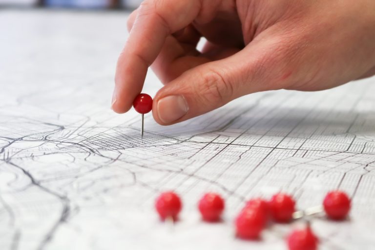
Reading Between the Lines: Understanding Map Symbology
Maps are more than just pretty pictures. They are complex visual representations of the world around us, packed with information about geography, climate, transportation, and more. To make sense of all this data, we use a range of symbols and conventions to convey meaning. These include:
- Colors
- Lines
- Patterns
- Icons
- Labels
From Terra Incognita to Known Lands: Impact on Society
The art and science of cartography has had a profound impact on society throughout history. From the earliest maps created by ancient civilizations to the latest digital maps used by businesses and governments, cartography has helped us understand our world and navigate it more effectively. Some of the ways in which cartography has impacted society include:
- Exploration and discovery
- Trade and commerce
- Military strategy
- Environmental conservation
- Urban planning
As cartographers, we are proud to be part of a discipline that has played such a crucial role in shaping our understanding of the world. Whether we are creating maps of cities, rivers, oceans, or entire continents, we know that our work is helping people make sense of the world around them.
Frequently Asked Questions

Who decided a map was more than just doodles and became the father of cartography?
Well, it’s not like one day someone woke up and said, “Hey, let’s make a map!” Cartography has been around for thousands of years, and it’s hard to pinpoint exactly who the “father” of cartography is. However, if we had to pick one person who made significant contributions to the field, it would be the Greek philosopher and mathematician, Ptolemy. He created a world map that was widely used for centuries and developed a system of longitude and latitude that is still in use today.
Which ancient mapster put their stamp on the world without GPS or asking for directions?
One of the most famous ancient cartographers is the Chinese scholar, Zhang Heng. He lived during the Han dynasty and created a map of China that was incredibly accurate for its time. He used a grid system to map out the country and included important landmarks like mountains and rivers. His map was so accurate that it was used by Chinese scholars for centuries.
What legends of the cartography world made it so we don’t fall off the edge?
Believe it or not, there was a time when people thought the world was flat and that if you sailed too far, you would fall off the edge. It wasn’t until the Greek philosopher, Pythagoras, came along that people started to realize that the world was, in fact, round. However, it was the Portuguese cartographer, Bartolomeu Dias, who proved it by sailing around the southern tip of Africa and back to Portugal.
Can you list some famous cartographers, or do I need to draw you a map?
Sure, we can do that! Here are a few famous cartographers:
- Gerardus Mercator: He created the Mercator projection, which is still one of the most widely used map projections today.
- Abraham Ortelius: He created the first modern atlas, which included maps of the entire world.
- John Harrison: He created the first accurate marine chronometer, which allowed sailors to determine their longitude at sea.
How did old-school mappers figure out where everything was without using ‘You are here’ mall maps?
Old-school mappers had to rely on a combination of observation, measurement, and a lot of guesswork. They would use things like the stars, the sun, and landmarks to determine their location and the location of other places. They would also use tools like compasses, sextants, and astrolabes to measure angles and distances.
What’s the deal with legends on maps, and are they as epic as they sound?
The legends on maps are the explanatory text that tells you what all the symbols and colors on the map mean. They can be pretty epic, especially on old maps. Some legends include descriptions of mythical creatures, sea monsters, and other fantastical elements. However, most modern maps have pretty straightforward legends that just explain what each symbol represents.