Mapmaking: From Dead Trees to Digital Screens
We’ve come a long way from the days of parchment and quill. Nowadays, we can easily pull up a map of any location in the world with just a few clicks on our phones or computers. But have you ever stopped to wonder about the history of mapmaking? How did we get from clay tablets to Google Earth?
Mapping It Out: From Clay to Paper
Mapmaking has been around for thousands of years, with the earliest maps dating back to ancient civilizations like Babylon and Egypt. These early maps were made on clay tablets and depicted local areas, with no sense of scale or direction. As time went on, maps became more detailed and accurate, with the Greeks and Romans creating maps of the known world.
Charting New Waters: Renaissance to Digital Age
During the Renaissance, mapmaking underwent a major transformation. Maps became more accurate and detailed, with the use of longitude and latitude lines and the invention of the compass and telescope. The Age of Exploration also led to the creation of more accurate maps, as sailors charted new waters and discovered new lands.
Frequently Asked Questions
- Who invented the first map?
- How were maps made before paper?
- When were longitude and latitude lines invented?
Key Takeaways
- Mapmaking has a long and fascinating history, dating back to ancient civilizations.
- The Renaissance and Age of Exploration led to major advancements in mapmaking technology.
- Today, we have access to incredibly detailed and accurate maps thanks to digital technology.
Mapping It Out: From Clay to Paper
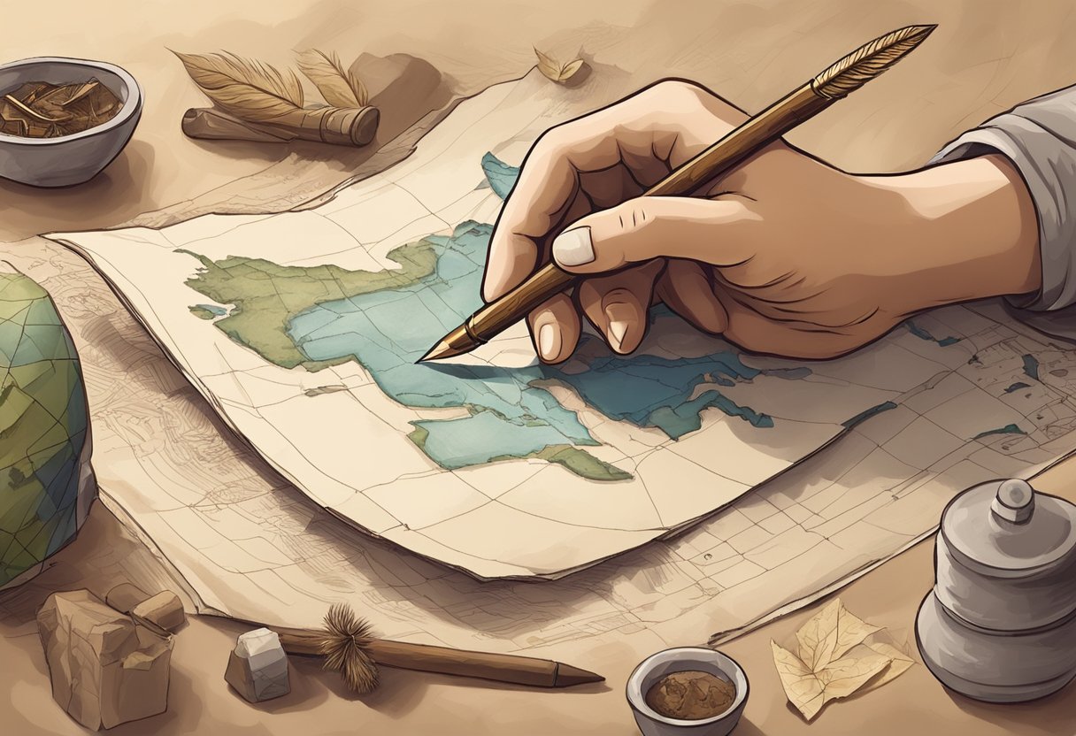
When it comes to mapmaking, we’ve come a long way from the days of clay tablets and parchment. Let’s take a look at the history of mapmaking, from its earliest beginnings to the medieval marvels that paved the way for modern cartography.
The Babylonian Beginnings
The Babylonians were some of the earliest mapmakers, creating clay tablets that depicted the world around them. These maps were often simple, with basic outlines of cities and rivers. But they were still a remarkable achievement for their time, and they set the stage for the development of more sophisticated maps.
Ptolemy’s Geographia and the Greek Contribution
The Greeks were also instrumental in the development of mapmaking, with scholars like Eratosthenes and Ptolemy making significant contributions to the field. Ptolemy’s Geographia, for example, was a groundbreaking work that included detailed maps of the world as known at the time. These maps were accurate in terms of latitude and longitude, and they set a standard for mapmaking that would be followed for centuries.
Medieval Muddles and Marvels
During the medieval period, mapmaking became more complex and sophisticated. Maps were often highly decorative, with intricate illustrations and detailed descriptions of cities and landmarks. But they were also often inaccurate, with distorted shapes and misplaced features. Despite these flaws, medieval maps were still an impressive achievement, and they paved the way for the highly accurate maps that we use today.
From the Babylonians to the Greeks to the medieval mapmakers, we owe a debt of gratitude to the early cartographers who paved the way for modern mapmaking. Without their contributions, we might still be trying to find our way using clay tablets and parchment.
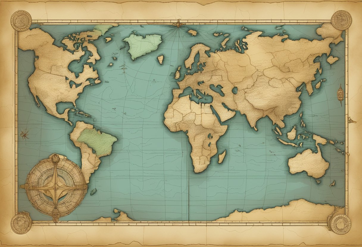
Charting New Waters: Renaissance to Digital Age
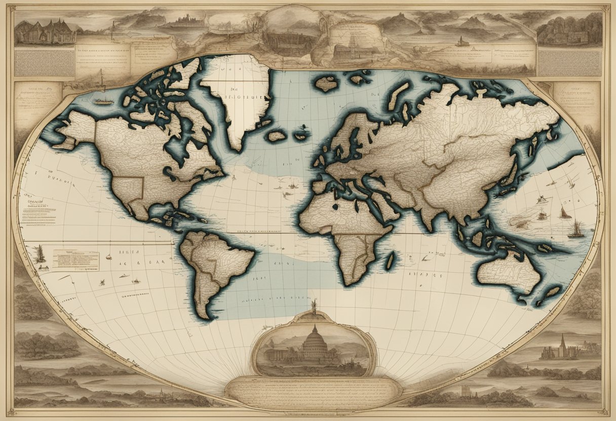
Ahoy mateys! Come aboard as we set sail on a voyage through the history of mapmaking, from the Renaissance to the digital age. We’ll explore the fascinating evolution of mapmaking technology, from Gerardus Mercator’s magic to modern mapping technologies.
Mercator’s Magic and the Age of Exploration
Back in the day, sailors used to rely on maps made on parchment to navigate the vast ocean. But these maps had a problem: they were not accurate. That’s where Gerardus Mercator comes in. He invented a new map projection that made navigation easier and more accurate. He used a cylindrical projection that preserved the shape of landmasses, making it easier for sailors to navigate and chart their course. Thanks to Mercator’s magic, the Age of Exploration was born, and sailors could now travel further and discover new lands.
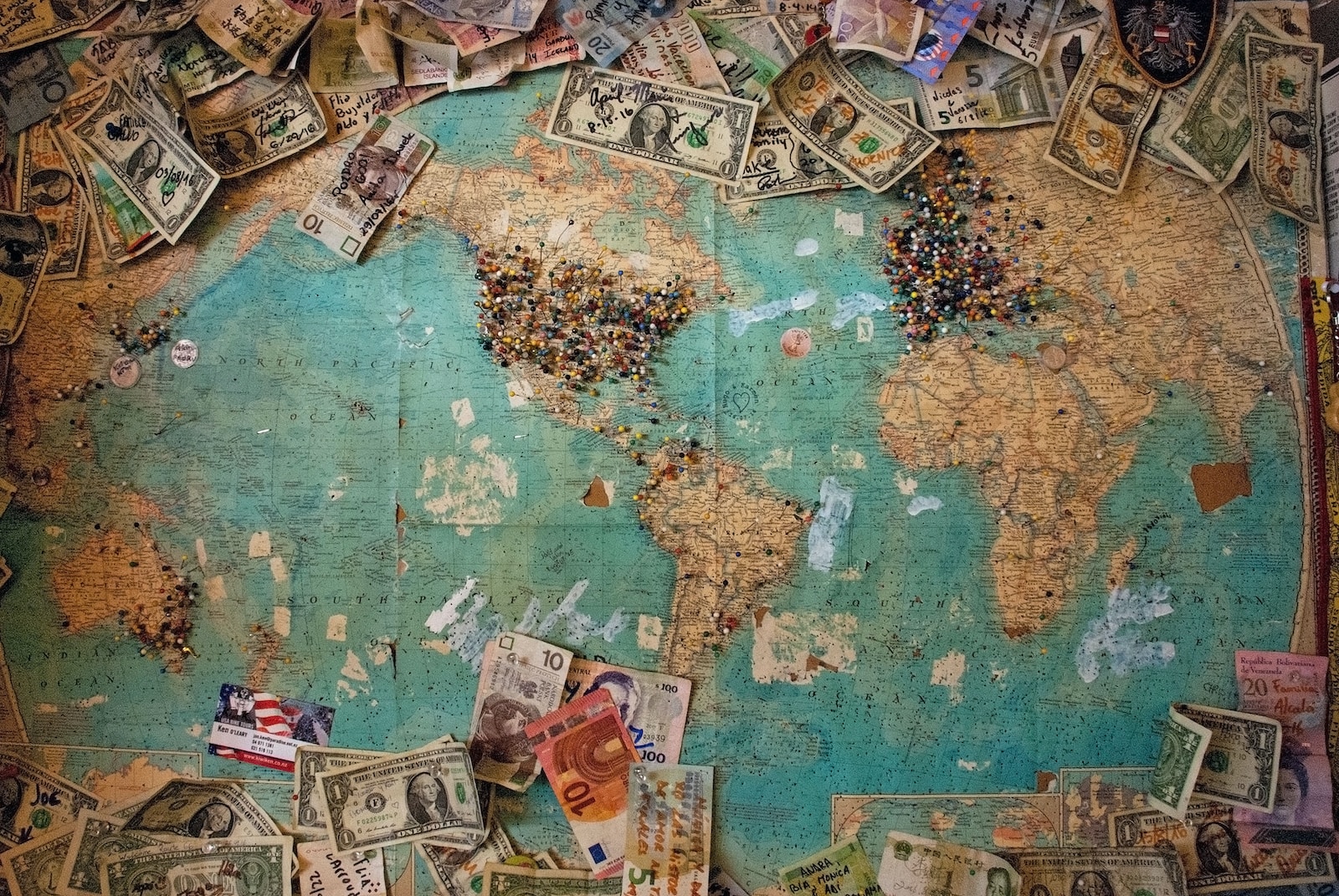
Sailing the Silicon Seas: Modern Mapping Technologies
Fast forward to the present day, and we have come a long way from parchment maps. Today, we have access to a wealth of mapping technologies that make navigation easier than ever before. We have GPS systems that can pinpoint our location down to a few meters, and Google Earth that lets us explore the world from the comfort of our own home. We even have smartphones that can guide us to our destination with turn-by-turn directions.
But that’s not all. Aerial photography and satellite imagery have revolutionized the way we map the world. We can now create highly accurate and detailed maps of the entire globe, and even monitor changes in the environment over time.
As we sail the silicon seas of modern mapping technologies, we can’t help but be amazed at how far we’ve come. From parchment to pixels, the history of mapmaking is a testament to human ingenuity and the power of technology. So, grab your compass and join us on this exciting journey through time and space!
Frequently Asked Questions
https://www.youtube.com/watch?v=zzNhle4tMrw&embed=true
What did cartographers use before GPS? A compass and a wild guess?
GPS? What’s that? We kid, we kid. But seriously, before GPS, cartographers had to rely on their own two feet and a whole lot of skill. Early maps were often created based on the observations of explorers and travelers who recorded landmarks, distances, and directions. Cartographers would then use this information to create maps, often with the help of a compass, sextant, and other tools. While these maps were not always accurate, they were still incredibly useful for navigation and exploration.
How did ancient mapmakers avoid getting lost, or did they just embrace the adventure?
Getting lost was just part of the adventure! Okay, not really. Ancient mapmakers actually took great care to ensure their maps were as accurate as possible. They used a variety of techniques, including triangulation, to measure distances and angles. They also relied on astronomical observations to determine latitude and longitude. Of course, mistakes were still made, and getting lost was always a risk, but ancient mapmakers did their best to minimize these risks.
What’s the oldest map in existence, and did it include spots for the best ancient coffee shops?
The oldest known map is the Babylonian Map of the World, which dates back to the 5th century BCE. This map was created on a clay tablet and shows the world as a flat disk surrounded by water. While it doesn’t include any coffee shops (ancient or otherwise), it does include important cities and landmarks, as well as depictions of mythical creatures.
Did old maps come with a ‘you are here’ marker, or was that just wishful thinking?
Unfortunately, “you are here” markers were not a thing in the days of parchment maps. Instead, mapmakers relied on compass roses and other symbols to help orient the viewer. It was up to the viewer to figure out where they were in relation to the map.
How did fantasy mapmakers decide where to put dragons without real-life references?
Ah, the age-old question. While there may not be any real-life references for dragons, fantasy mapmakers often drew inspiration from real-world locations and cultures. For example, a dragon might be placed in a mountainous region inspired by the Himalayas, or in a desert inspired by the Sahara. Of course, sometimes dragons were just placed wherever the mapmaker felt like it!
In the days of parchment maps, how often did pirates mistake them for treasure maps?
Believe it or not, pirates probably didn’t mistake parchment maps for treasure maps all that often. While maps were certainly valuable, they were not always accurate, and pirates knew this. Instead, pirates would often rely on their own navigational skills, as well as information from other pirates and locals, to find their treasure. Plus, let’s be real, pirates were too busy pillaging and plundering to worry about maps!