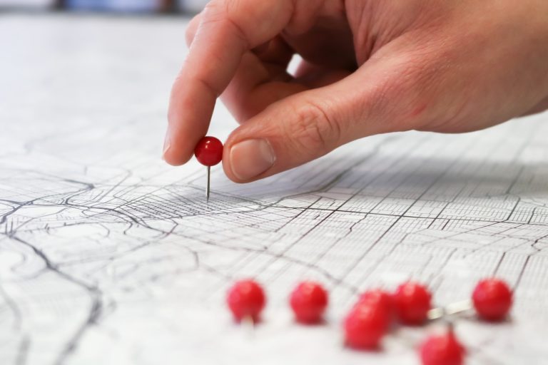
Map-sterpiece Theatre: Deciphering the Past Through Historical Maps
Are you ready to embark on a journey through time? We invite you to join us as we explore the fascinating world of historical maps. In this article, we’ll take a closer look at how maps have been used throughout history to tell the story of our world, and how we can use them to decipher the past.
Cartographic Chronicles: Unfolding Historical Maps
From ancient times to the present day, maps have been an essential tool for understanding the world around us. They have been used to chart new territories, navigate uncharted waters, and tell the stories of our past. Join us as we explore the fascinating history of cartography, from the earliest maps of the ancient world to the latest digital technologies.
Adventures in Mapping: Navigators, Nations, and Noteworthy Notations
Throughout history, maps have been used by navigators, explorers, and nations to chart new territories, stake claims to new lands, and tell the stories of their people. Join us as we explore the adventures in mapping, from the first maps of the ancient world to the latest digital technologies. We’ll take a closer look at the maps that changed the world, the people who made them, and the stories they tell.
Key Takeaways
- Historical maps have been an essential tool for understanding the world around us.
- Maps have been used by navigators, explorers, and nations to chart new territories, stake claims to new lands, and tell the stories of their people.
- Join us as we explore the fascinating history of cartography, from the earliest maps of the ancient world to the latest digital technologies.
Cartographic Chronicles: Unfolding Historical Maps
https://www.youtube.com/watch?v=ExA4XanNNeA&embed=true
Ah, historical maps. The perfect blend of art and geography. A treasure trove of information, and a gateway to the past. In this section, we’ll be taking a look at some of the tales that these maps tell, and how we can decipher them.
Tales of Territories: Understanding Borders and Boundaries
Historical maps are a window into the past, and they can tell us a lot about how people viewed the world around them. These maps can show us how different territories were divided and how boundaries were established. They can also give us a glimpse into the political and cultural landscape of a particular era.
Take, for example, the map of the United States from the early 1800s. This map shows us how the country was divided into different territories and how these territories evolved over time. We can see how the Louisiana Purchase impacted the size of the country, and how the Mexican-American War changed the borders of the southwestern states.
Legends of Lines: Decoding Scale and Orientation
One of the most important aspects of any map is its scale and orientation. These two factors can tell us a lot about the map’s purpose and the accuracy of the information it contains. For example, a map with a small scale is great for showing a large area, but it may not be very detailed. On the other hand, a map with a large scale is great for showing a small area, but it may not be very useful for navigation.
The orientation of a map is also important. Most maps are oriented with north at the top, but this is not always the case. Some maps are oriented with east at the top, or even with the direction of the prevailing winds. Understanding the orientation of a map can help us to better understand the information it contains.
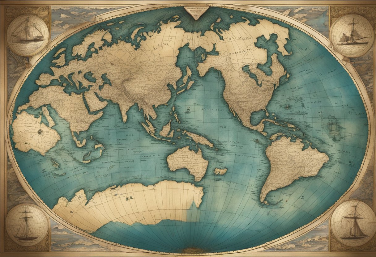
The Art of Cartography: From Illustration to GIS
Finally, we come to the art of cartography itself. From the earliest hand-drawn maps to the modern-day GIS systems, cartography has come a long way. Today, we have access to incredibly detailed maps that can show us everything from the layout of a city to the topography of a mountain range.
But even with all of this technology at our disposal, there is still something special about a beautifully illustrated map. These maps are works of art in their own right, and they can tell us just as much about the culture and values of the people who created them as they can about the geography of the land.
So there you have it, a brief look at the tales that historical maps can tell. From the territories they depict to the legends of scale and orientation, and the art of cartography itself, these maps are a fascinating glimpse into the past.
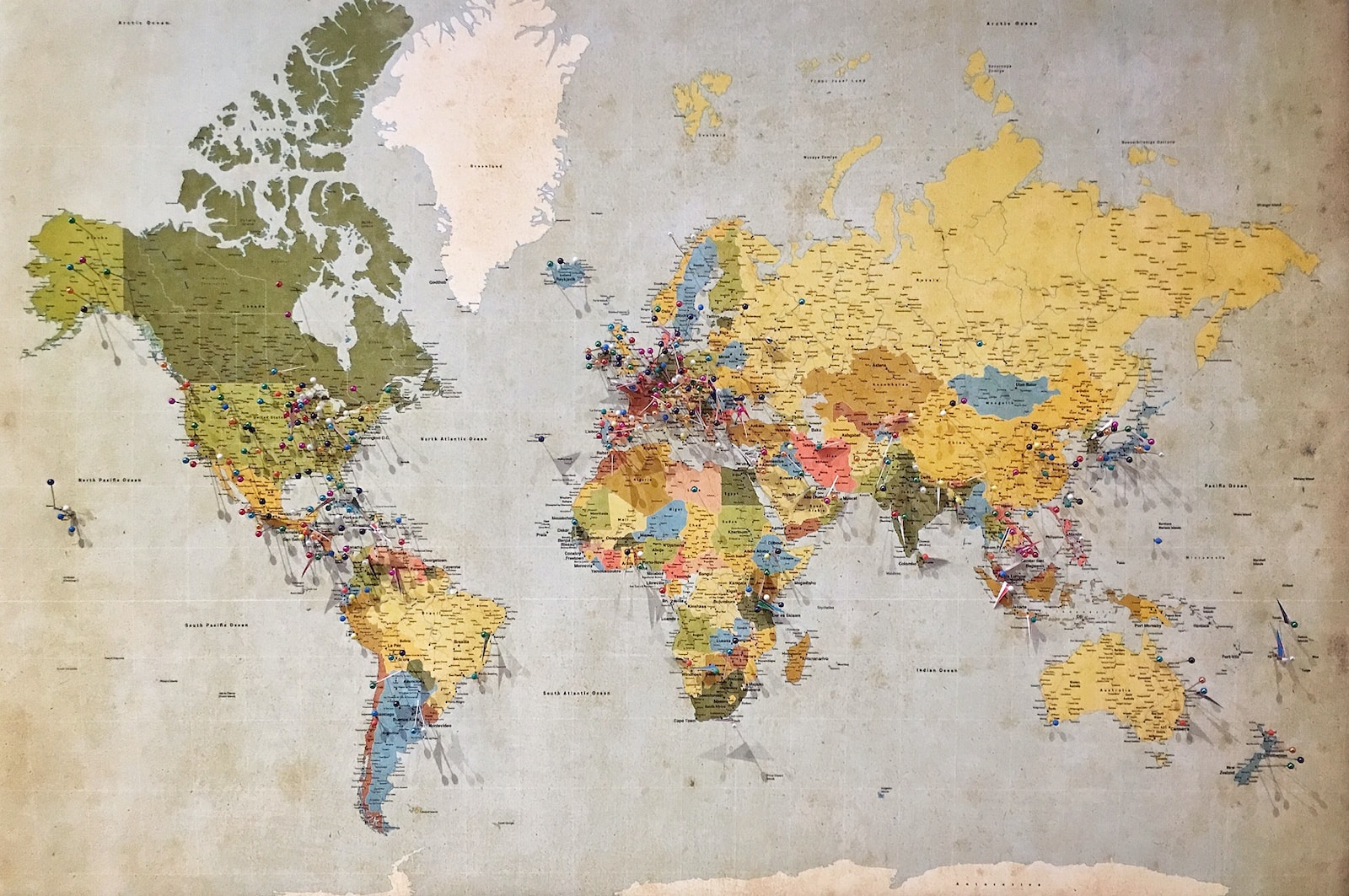
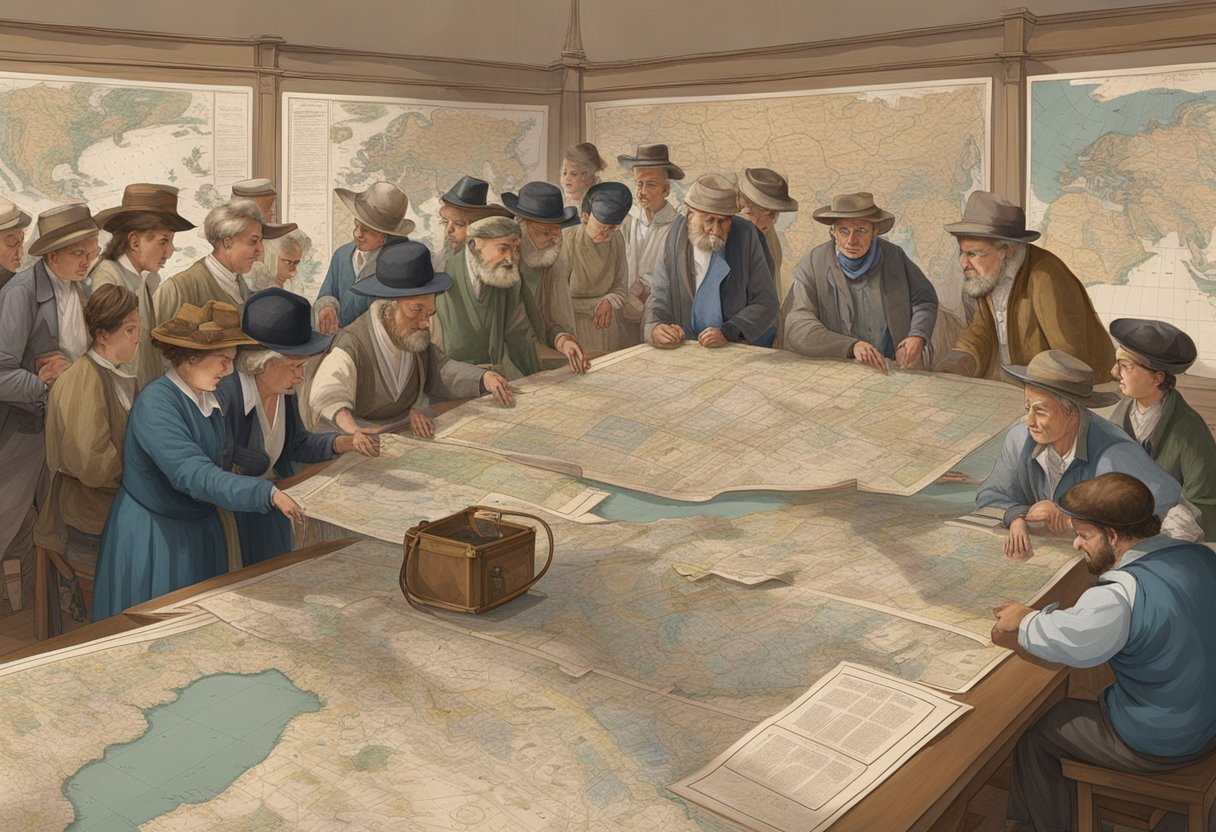
Adventures in Mapping: Navigators, Nations, and Noteworthy Notations
https://www.youtube.com/watch?v=juzbMnUPIuU&embed=true
Ahoy there, mateys! In this section, we’ll be diving deep into the world of historical maps and the adventurers who charted new territories. From celebrated cartographers to the myths and mysteries of uncharted lands, we’ll explore it all.
Pioneers of the Past: Celebrated Cartographers and Their Journeys
Let’s set sail on a journey through time, shall we? Our first stop is with the pioneers of cartography, who paved the way for modern-day mapping. These intrepid explorers braved treacherous seas and uncharted territories to create some of the most intricate and beautiful maps of their time.
One such geographer was Ptolemy, who created a world map that was widely used for over a thousand years. His work was so influential that it was still being referenced during Christopher Columbus’s voyage to the New World.
Mapping the Mysterious: Myths, Mountains, and More
But not all maps were created equal. Some were shrouded in mystery and mythology, with fantastical creatures and uncharted territories. Take, for example, the maps of the medieval period, which often featured mountains that were believed to be the home of dragons and other mythical beasts.
These maps were not just works of art, but also served as a way for people to understand the world around them. They were used to navigate treacherous seas and find new trade routes, all while inspiring a sense of wonder and adventure.
Historical Context and Conquest: Christopher Columbus and the Charting of New Worlds
And speaking of adventure, no discussion of historical maps would be complete without mentioning Christopher Columbus’s voyage to the New World. Columbus’s journey was not just a feat of navigation, but also a pivotal moment in the history of conquest and colonization.
Columbus’s maps and charts were essential to his journey, allowing him to navigate the unknown waters of the Atlantic and chart a course to the New World. But his journey also had far-reaching consequences, leading to the colonization of the Americas and the displacement of indigenous peoples.
So there you have it, a brief overview of the adventures in mapping. From the pioneers of cartography to the conquests of Christopher Columbus, historical maps have played a crucial role in shaping our understanding of the world around us.
Frequently Asked Questions
How do cartographic relics give us the gossip on bygone eras?
Well, dear reader, maps are not just static images of the past. They are relics that can tell us stories about the people and cultures that made them. By studying the maps of the past, we can learn about the beliefs, values, and attitudes of the people who created them. For example, we can learn about the trade routes, the political boundaries, and the natural resources of the time.
What secrets do ancient maps spill about historical shenanigans?
Oh, the secrets that maps can reveal! They can tell us about the power struggles, the alliances, and the wars that shaped the world. They can show us the propaganda, the biases, and the prejudices of the people who made them. They can even reveal the hidden treasures, the lost cities, and the mythical creatures that once captured the imagination of our ancestors.
Can old maps serve as time machines for nosy historians?
Well, not exactly, but they can transport us to the past in a way. By looking at the maps of the past, we can imagine what it was like to live in a different time and place. We can see the world through the eyes of our ancestors and experience their joys, sorrows, and struggles. We can also compare the maps of different eras and see how the world has changed over time.
What can musty maps teach us about ye olde geopolitics?
Ah, ye olde geopolitics! By studying the maps of the past, we can learn about the political, economic, and cultural forces that shaped the world. We can see how the empires rose and fell, how the borders shifted, and how the cultures clashed. We can also learn about the technologies, the ideologies, and the religions that spread across the globe.
Why would a historian treat a dusty old map like a treasure map?
Well, because it is a treasure map! A map is not just a piece of paper with lines and colors. It is a window to the past, a portal to another world. It is a treasure trove of information, a puzzle to be solved, a mystery to be unraveled. And like any treasure map, it can lead us to hidden treasures, forgotten secrets, and lost knowledge.
How do historical maps help us play detective with the past?
Well, dear reader, historical maps are like clues in a detective story. By studying the maps of the past, we can piece together the puzzle of history and uncover the hidden truths. We can compare the maps of different eras and see the patterns, the trends, and the anomalies. We can also cross-reference the maps with other sources, such as archives, diaries, and artifacts, and build a more complete picture of the past.