Map Your Way to a Better Tomorrow: The Blueprint for Urban Planning
Blueprints for Tomorrow: The Role of Maps in Urban Planning
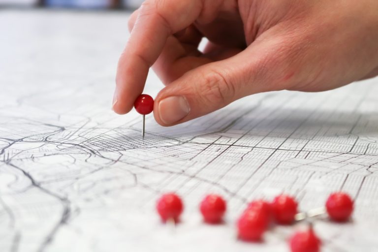
We all know how important maps are in our daily lives. Whether it’s for navigating to a new location or planning a trip, maps help us visualize the world around us. But did you know that maps also play a crucial role in urban planning? They help city planners and architects design sustainable and livable cities that meet the needs of the people who live there.
Mapping the Future: Cartography in City Planning
City planners use maps to visualize the layout of a city and plan for future development. By mapping out the existing infrastructure, transportation networks, and natural resources, they can identify areas for improvement and create plans to make the city more livable. Maps also help city planners communicate their ideas to the public, making it easier to get buy-in for new projects.
Blueprints for a Greener Tomorrow: Sustainability and Urban Spaces
Sustainable development is a key consideration in urban planning, and maps play a critical role in this process. By mapping out the existing green spaces, waterways, and other natural resources, city planners can identify areas for preservation and create plans to protect them. Maps also help identify areas where new green spaces can be created, making cities more livable and environmentally friendly.
Key Takeaways
- Maps are an essential tool in urban planning, helping city planners visualize the layout of a city and plan for future development.
- Sustainable development is a key consideration in urban planning, and maps play a critical role in identifying areas for preservation and creating plans to protect them.
- By using maps to communicate their ideas to the public, city planners can get buy-in for new projects and create more livable cities.
Mapping the Future: Cartography in City Planning
https://www.youtube.com/watch?v=LKYAexH-dmE&embed=true
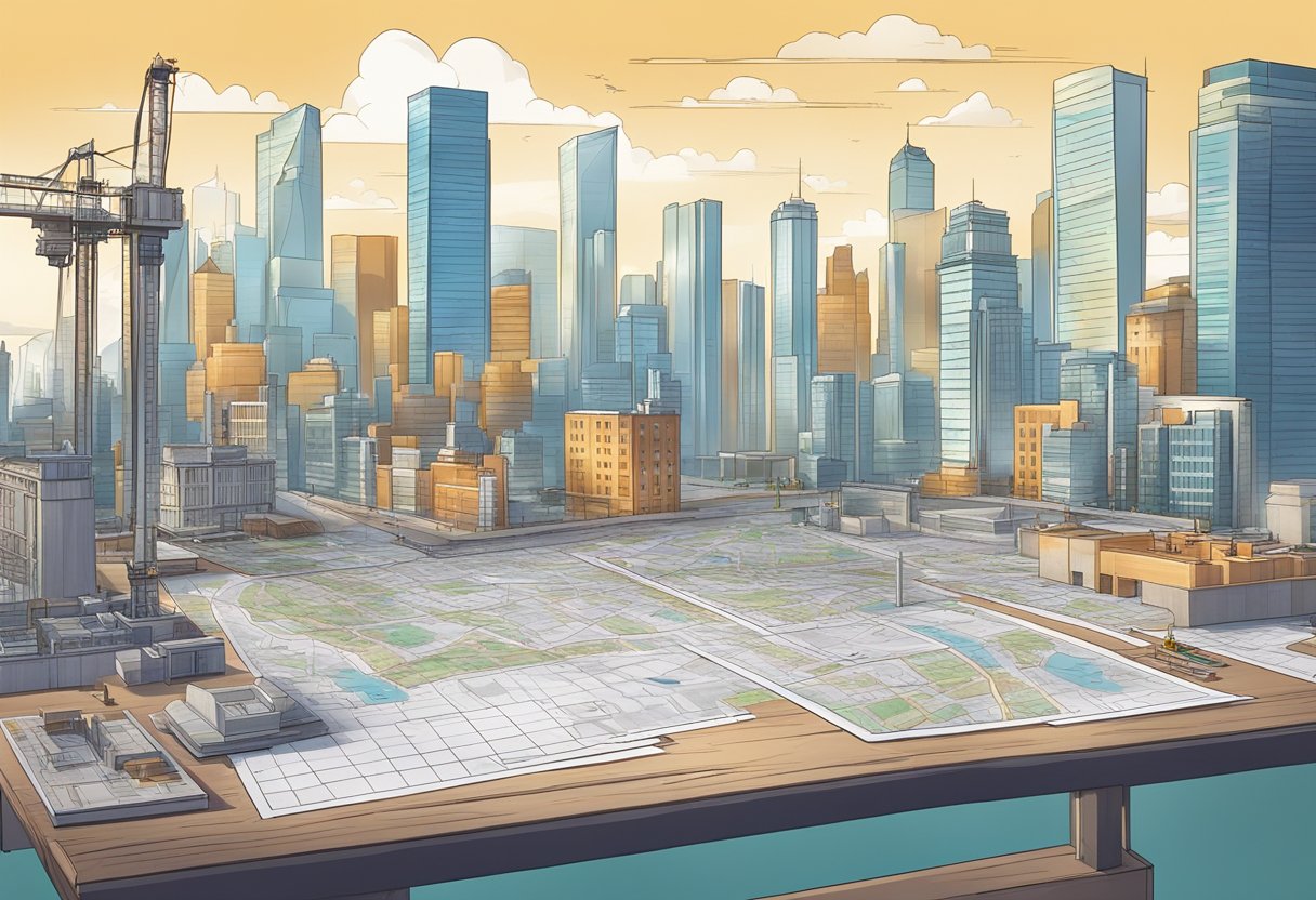
As urban planners, we understand the importance of maps in our line of work. Maps are not only a tool for navigation but also for the visualization of data and geographic information. They can help us identify patterns, understand trends, and make informed decisions about the future of our cities. In this section, we will explore the art and science of GIS, zoning and urban layout, and the evolution of cartography.
The Art and Science of GIS
GIS stands for Geographic Information Systems. It is a powerful tool that allows us to collect, store, and analyze geographic information. With GIS, we can create maps that show us everything from the location of buildings to the distribution of natural resources. We can use GIS to identify areas that are vulnerable to natural disasters, to plan transportation routes, and to track the spread of diseases. In short, GIS is an essential tool for urban planners.
Reading Between the Lines: Zoning and Urban Layout
Zoning ordinances are a set of rules and regulations that dictate how land can be used in a particular area. They are an essential part of urban planning because they help us create a cohesive and functional city. Zoning ordinances can help us ensure that residential areas are separated from industrial areas, that there are enough parks and green spaces, and that there is adequate infrastructure to support the needs of the community.
From Ancient Scrolls to Digital Maps: The Evolution of Cartography
Cartography has come a long way since the days of ancient scrolls. Today, we have access to digital maps that are more accurate and detailed than ever before. We can use satellite imagery to create maps that show us the world in incredible detail. We can use 3D modeling techniques to create maps that are not only informative but also visually stunning. The evolution of cartography has allowed us to create maps that are not only functional but also beautiful.
In conclusion, maps are an essential tool for urban planners. They allow us to visualize data, identify patterns, and make informed decisions about the future of our cities. With GIS, zoning ordinances, and the evolution of cartography, we have the tools we need to create functional, beautiful, and sustainable cities for future generations.
Blueprints for a Greener Tomorrow: Sustainability and Urban Spaces
https://www.youtube.com/watch?v=8GLTb0-TadI&embed=true
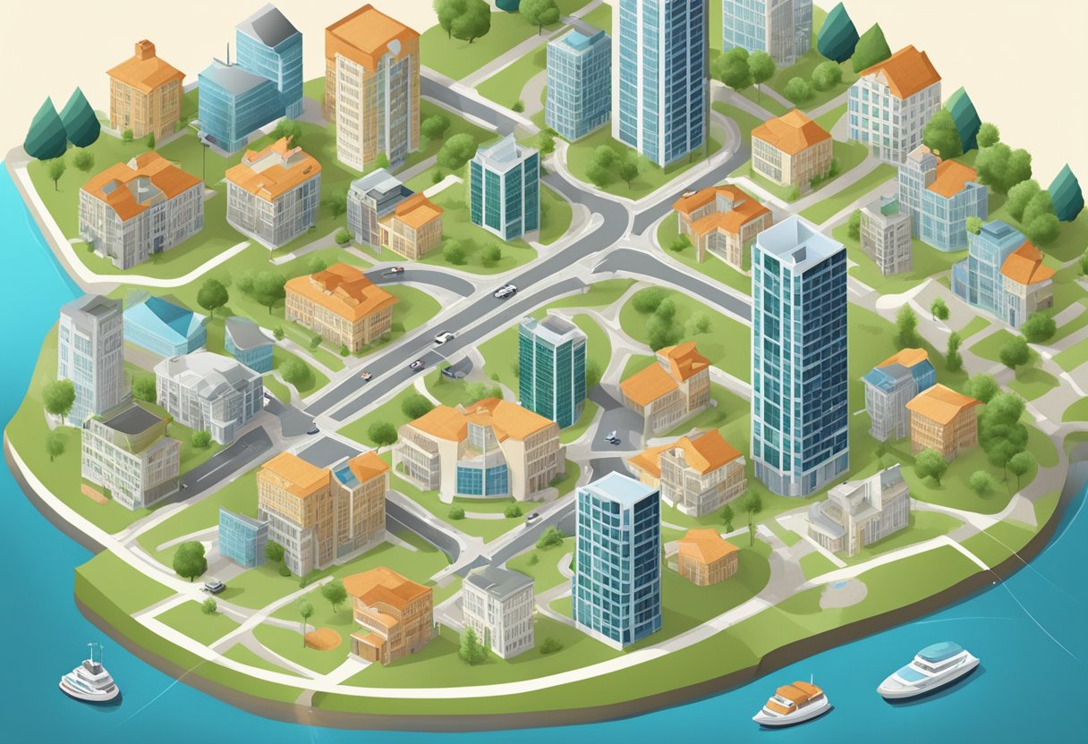
When it comes to urban planning, we need to focus on building a sustainable future. We can no longer afford to ignore the impact of urbanization on our planet. So, how do we create a greener tomorrow? The answer lies in sustainable development goals and the integration of public spaces.
Concrete Jungles to Green Havens: Integrating Public Spaces
Cities are often associated with concrete jungles, but they don’t have to be. We need to integrate public spaces like parks and rivers into our urban planning. These spaces not only provide a much-needed break from the hustle and bustle of city life, but they also help combat climate change.
The Climate Crusade: Urban Planning vs. Climate Change
Climate change is a real threat, and we need to take action. As urban planners, we can help by incorporating sustainable practices like bike lanes and walking paths into our designs. This not only reduces congestion and pollution but also encourages people to lead healthier lifestyles.
Building Up Without Closing In: Addressing Urban Sprawl
Urban sprawl is a growing problem, but we can address it by building up instead of out. This means creating more high-rise buildings and apartments. However, we need to make sure that these buildings don’t close in on public spaces and that they are designed with sustainability in mind.
In conclusion, sustainability is the key to creating a greener tomorrow. We need to focus on integrating public spaces, combating climate change, and addressing urban sprawl. By doing so, we can create cities that are not only beautiful but also sustainable for generations to come.
Frequently Asked Questions
How do urban planners play hide and seek with maps?
Well, we don’t actually hide the maps, but we do use them to hide things. For example, we can use maps to identify areas that need improvement, such as high-crime areas or poorly designed streets. We can also use maps to hide things that we don’t want people to see, like landfills or sewage treatment plants. So, in a way, we do play hide and seek with maps, but it’s not as fun as it sounds.
Can you use GPS to navigate the urban jungle without bumping into a skyscraper?
GPS is a great tool for navigating the urban jungle, but it’s not foolproof. It can sometimes be inaccurate, especially in areas with tall buildings or other obstructions. That’s why we still rely on good old-fashioned maps and our own sense of direction to get around. Plus, there’s something satisfying about navigating a city without relying on technology.
Is GIS the secret sauce for cooking up the perfect city layout?
GIS (Geographic Information System) is a powerful tool for urban planners, but it’s not the secret sauce for the perfect city layout. It’s just one tool in our toolkit. GIS allows us to analyze data and create maps that help us make informed decisions about city planning. But at the end of the day, it’s our creativity, experience, and vision that help us create the perfect city layout.
Why do urban planners get all excited about remote sensing, or is it just a higher-level stalking?
Remote sensing is a way for us to gather data about the city from a distance, using tools like satellites or drones. It’s not stalking, we promise! We get excited about remote sensing because it allows us to gather data that we wouldn’t be able to get otherwise. For example, we can use remote sensing to identify areas that are prone to flooding or to monitor changes in land use over time.
Do urban planning jobs come with a free map, or do you have to draw your own?
Unfortunately, urban planning jobs don’t come with a free map. We have to create our own maps using GIS software or other tools. But that’s okay, because creating maps is one of the most fun parts of the job! Plus, it allows us to be creative and tailor the maps to our specific needs.
When mapping out cities, do urban planners feel like real-life SimCity players?
Sometimes, yes! Mapping out cities can be like playing a real-life version of SimCity. We get to make decisions about where to put buildings, roads, and parks, and we get to see how those decisions affect the city as a whole. Of course, real-life city planning is much more complex than SimCity, but it’s still a lot of fun.