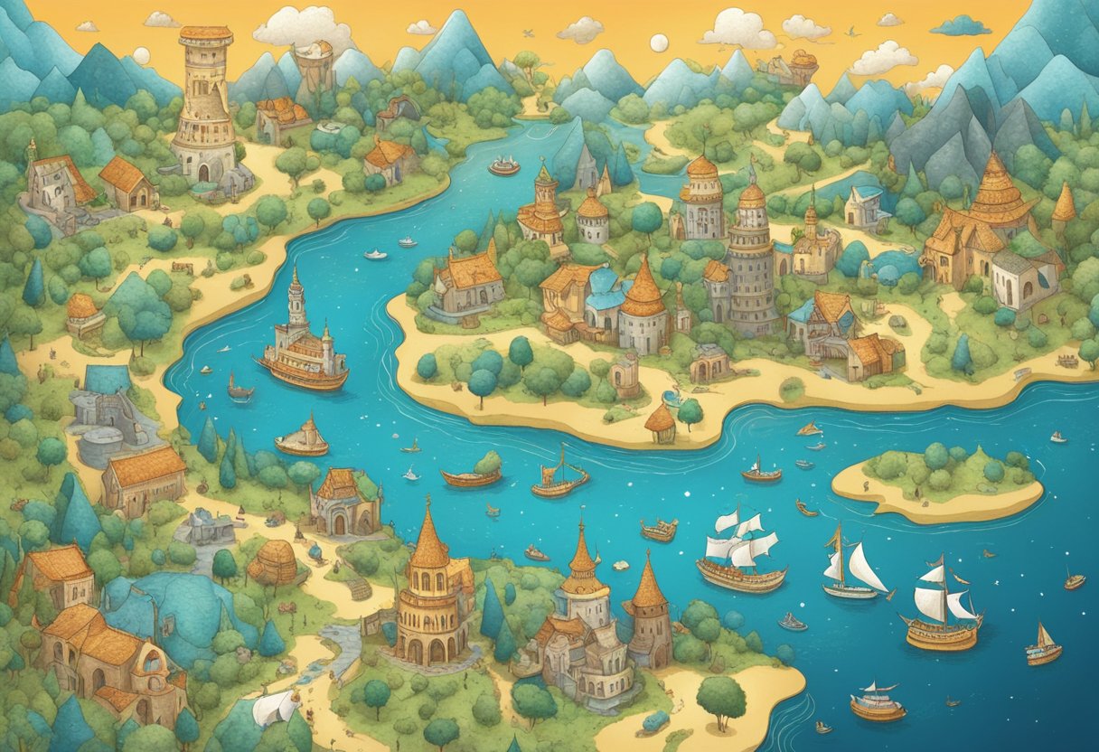
Map-azing Discoveries: Uncovering Rare and Peculiar Cartographic Curiosities
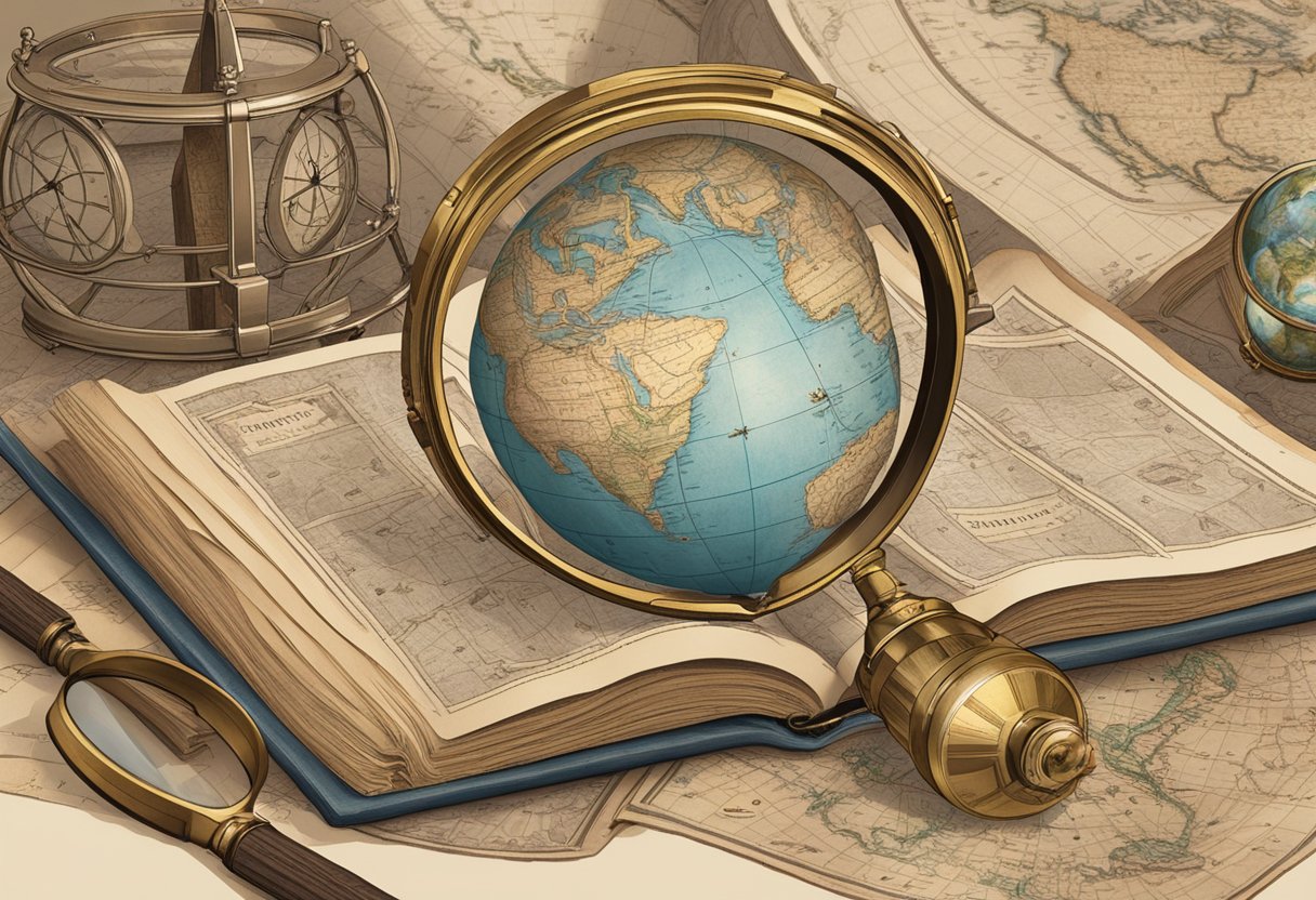
Cartography is the art of creating maps, and it has been an essential tool for humans since ancient times. Maps help us navigate the world around us, understand our place in it, and communicate our findings to others. Cartographic Curiosities: Exploring Unusual and Rare Maps is a fascinating topic that explores the unique atlas and strange maps. It is an area of cartography that is often overlooked but can provide a wealth of information and entertainment.
In this article, we will delve into the art and history of cartography, exploring its evolution over time and the various techniques and tools used to create maps. We will also take a closer look at the uncharted territories of humor and critique in cartography, highlighting some of the most unique and bizarre maps ever created. Whether you are a history buff, an art lover, or just someone with a curious mind, this article will provide a fascinating glimpse into the world of cartographic curiosities.
Key Takeaways
- Cartography is an essential tool for humans that has been used since ancient times to navigate the world around us, understand our place in it, and communicate our findings to others.
- Cartographic Curiosities: Exploring Unusual and Rare Maps is a fascinating topic that explores the unique atlas and strange maps, often overlooked but can provide a wealth of information and entertainment.
- The uncharted territories of humor and critique in cartography highlight some of the most unique and bizarre maps ever created, making it a fascinating area of study for history buffs, art lovers, and curious minds alike.
The Art and History of Cartography
As map enthusiasts, we know that maps are not just a tool for navigation. They are a reflection of the society and culture of the time they were created. In this section, we will explore the art and history of cartography, including mapping the imaginary, historical map misconceptions, and cartographic artistry through the ages.
Mapping the Imaginary
Cartography is not just about depicting the physical world. It can also be used to map the imaginary. From J.R.R. Tolkien’s Middle Earth to the world of Harry Potter, maps have been used to bring imaginary worlds to life. These maps are not only beautiful illustrations, but they also help readers navigate the imaginary world.
Historical Map Misconceptions
We all have seen the California as an island on maps, but did you know that this was a misconception that lasted for centuries? It was first depicted on a seventeenth-century map and was believed to be true until the mid-eighteenth century. This is just one example of how maps can perpetuate misconceptions and misinformation.
Cartographic Artistry Through the Ages
Maps are not just a tool for navigation, they are also a form of art. From the intricate illustrations on medieval maps to the colorful atlases of the modern era, cartographers have been creating beautiful works of art for centuries. Cartographic artistry has evolved over time, but one thing remains constant: maps are not just a tool, they are a work of art.
In conclusion, the art and history of cartography is a fascinating subject that encompasses centuries of illustrations, depictions, and misconceptions. From mapping the imaginary to cartographic artistry through the ages, maps have been an integral part of our history and culture.
Uncharted Territories of Humor and Critique
When it comes to cartographic curiosities, exploring unusual and rare maps can be a delightful and insightful experience. In this section, we will take a closer look at some of the uncharted territories of humor and critique in the world of cartography.
Political Parody and Social Maps
Maps can be powerful tools for social commentary and political parody. The “Jesusland Map” is a prime example of how maps can be used to make a statement. The map divides the United States into two parts, the liberal “United States of Canada” and the conservative “Jesusland.” This map was created in response to the 2004 U.S. presidential election and quickly went viral, sparking both controversy and amusement.
Another example of political parody is the “Voter Profiles” map, which assigns humorous labels to different types of voters based on their political affiliations. This map is a clever and humorous take on the complex world of politics.
Mapping Pop Culture and Fiction
Maps can also be used to explore the worlds of pop culture and fiction. The “Whatchamacallit Map” is a fun and quirky map that showcases some of the most unusual and obscure pop culture references from movies, TV shows, and video games. Meanwhile, the “Rapper Ludacris’ Map” is a map that highlights all the places mentioned in the lyrics of the rapper’s songs.
Cartographic Oddities and Quirks
Finally, there are many maps that are just plain weird and quirky. The “George Orwell’s 1984 Map” is a map that shows the world as it is described in the famous dystopian novel. Meanwhile, the “Thomas More’s Utopia Map” is a map that shows the fictional island of Utopia as described in More’s book.
Other oddities include maps that showcase quirky statistics, idiosyncratic lore, and even outer space. The “Strange Maps” blog is a great resource for exploring these unusual and fascinating maps.
Overall, the world of cartographic curiosities is a rich and diverse one, full of surprises and delights. Whether you are interested in humor, pop culture, humanity, or just quirky maps in general, there is something out there for everyone.
Frequently Asked Questions
What’s the weirdest map you’ve stumbled upon while lost on the internet?
Oh, we’ve seen some strange ones in our time. From maps of fictional places like Middle Earth and Westeros to maps of the world’s most haunted locations, the internet is a treasure trove of the bizarre and unusual. But the weirdest one we’ve come across has to be a map of the United States made entirely out of bacon. Yes, you read that right. Each state is represented by a slice of bacon, and the whole thing is accompanied by a list of bacon-themed puns. It’s definitely not the most practical map out there, but it’s certainly one of the most unique.
How did ancient mapmakers avoid just doodling dragons when they ran out of info?
Believe it or not, ancient mapmakers had a few tricks up their sleeves to avoid doodling dragons or other mythical creatures when they ran out of information. One technique was to leave blank spaces on the map and fill them in with illustrations of sea monsters or other fantastical creatures. Another was to include notes or warnings about uncharted territories, such as “Here be dragons” or “Here be lions.” This not only added a bit of flair to the map but also served as a warning to sailors and explorers.
Can you believe cartographers used to map without GPS? How’d they manage: sheer willpower?
It’s hard to imagine a time when cartographers didn’t have access to GPS technology, but it’s true. Before the advent of GPS, mapmakers had to rely on a combination of surveying, astronomical observations, and good old-fashioned guesswork to create accurate maps. It was a painstaking process that required a great deal of skill and patience, but the results were often stunningly accurate. So, no, we don’t think it was sheer willpower that got them through – just a lot of hard work and dedication.
Have you seen a map that made you chuckle like a mischievous cartographer?
We have indeed. One of our favorites is a map of the London Underground that’s been reimagined as a circuit board. Not only is it a clever concept, but it’s also beautifully executed. We also love a map of the world that’s been redrawn with countries renamed according to their most popular Google autocomplete search. It’s a hilarious commentary on our digital age and the things we value most.
In the cartography world, what’s considered the ‘black sheep’ of maps?
That’s a tough question. There are certainly some maps that are more controversial than others, such as maps that depict disputed territories or maps that use outdated or offensive terminology. But we wouldn’t say there’s a ‘black sheep’ of maps per se. After all, every map tells a story and has its own unique value and purpose.
What are some map legends that are more fiction than fact? Spill the tea!
We hate to burst anyone’s bubble, but there are a few map legends out there that are more fiction than fact. For example, the idea that there’s a secret map hidden on the back of the U.S. Constitution is a complete myth. Similarly, the legend that there’s a treasure map hidden in the artwork of the book “The Secret” has been debunked multiple times. That’s not to say that all map legends are false, of course – just that some of them are more fanciful than others.