Eco-Mapping: Because Even Mother Nature Needs a GPS
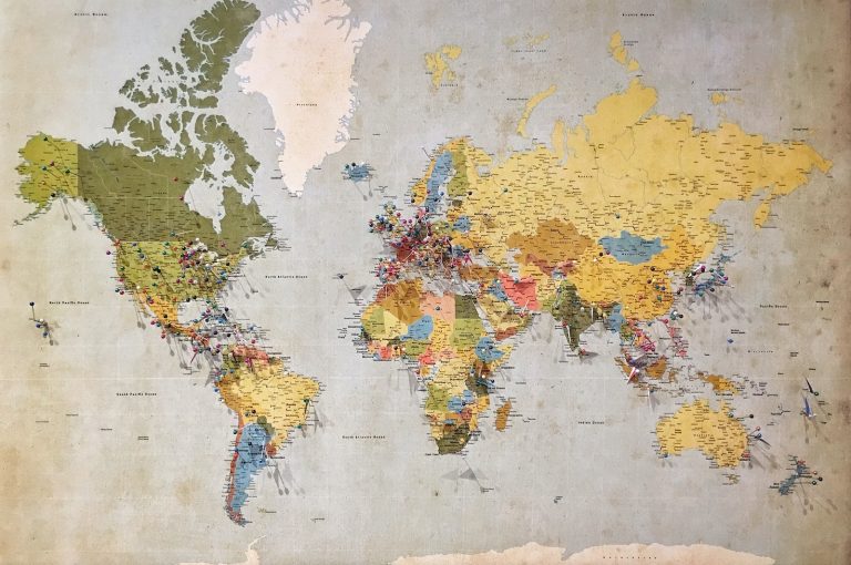
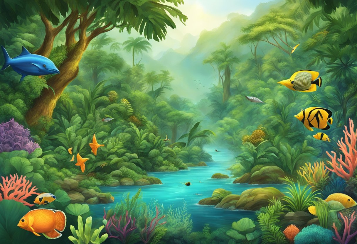
Are you ready to embark on an adventure to explore the world of Eco-Mapping? If so, join us as we delve into the art of charting biodiversity and ecosystems. Eco-Mapping is a valuable tool for environmental management that allows us to visualize and understand the complex relationships between different species and their habitats. By creating detailed maps of ecosystems, we can gain insight into the workings of nature and learn how to protect and preserve these delicate systems.
Eco-Mapping is a fascinating and rewarding pursuit that requires both technical skill and artistic flair. It involves the collection of data on biodiversity, ecosystem services, and environmental management, as well as the creation of detailed maps that capture the complexity of these systems. Whether you are a scientist, an artist, or simply a nature lover, Eco-Mapping offers a unique opportunity to explore the beauty and intricacy of the natural world.
So, are you ready to join us on this journey of discovery? Let’s dive into the world of Eco-Mapping and see what we can learn about the ecosystems that surround us.
Key Takeaways
- Eco-Mapping is a valuable tool for environmental management that allows us to visualize and understand the complex relationships between different species and their habitats.
- Eco-Mapping requires both technical skill and artistic flair, and involves the collection of data on biodiversity, ecosystem services, and environmental management.
- Eco-Mapping offers a unique opportunity to explore the beauty and intricacy of the natural world.
The Art of Eco-Mapping
When it comes to eco-mapping, we believe that it’s more than just creating a map. It’s an art form that requires careful planning, attention to detail, and a creative eye. In this section, we’ll explore the different aspects of eco-mapping and how to create a masterpiece that accurately depicts the biodiversity and ecosystems of a given landscape.
Choosing Your Palette: Methods and Resources
Just like any artist, we need to choose our palette carefully. In eco-mapping, this means selecting the right methods and resources to accurately capture the complexity of a landscape. Some of the methods we use include remote sensing, field surveys, and data collection through citizen science programs. We also use a variety of resources such as geographic information systems (GIS), databases, and satellite imagery to create detailed maps that showcase the beauty of the natural world.
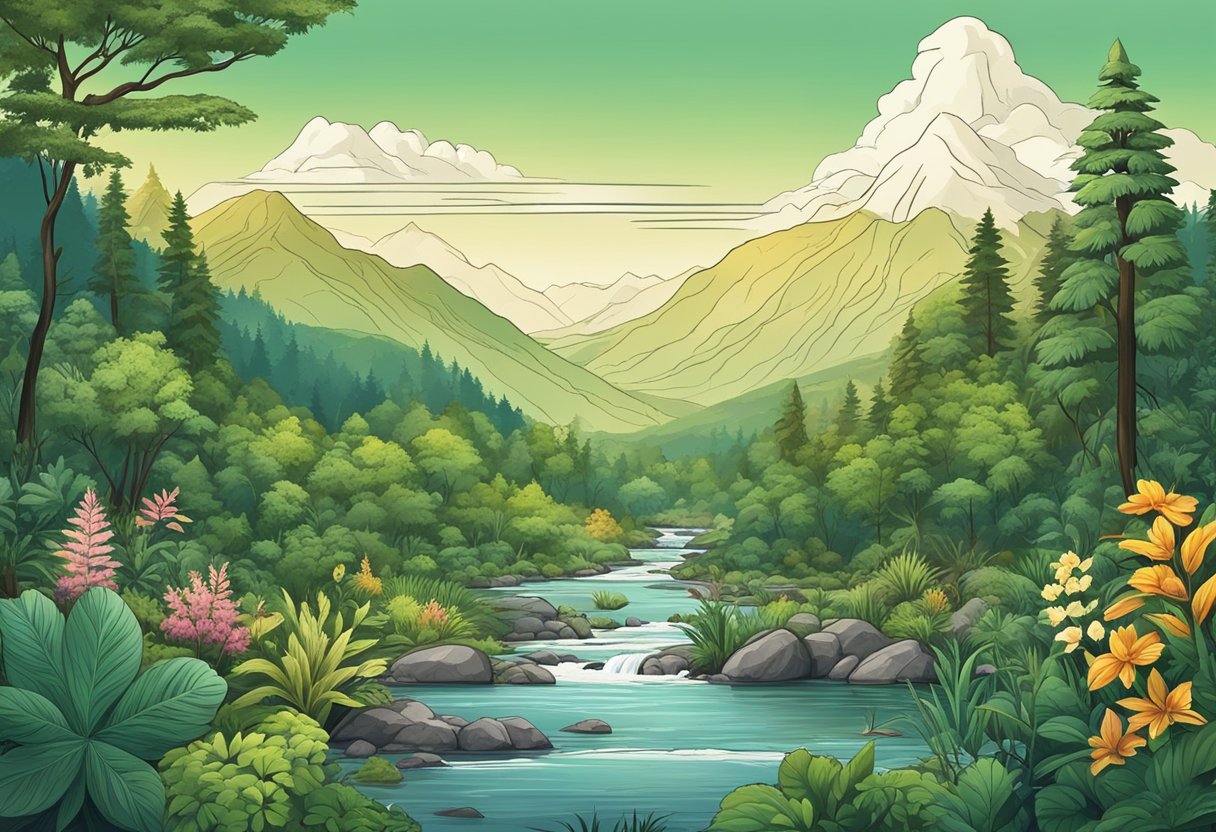
Sketching the Landscape: Types and Health of Ecosystems
Before we can start painting, we need to sketch out the landscape. This involves identifying the different types of ecosystems present and assessing their health. We use a variety of indicators such as species diversity, habitat quality, and water quality to determine the health of an ecosystem. By sketching out the landscape, we can identify areas that require conservation efforts and create a plan to protect them.
Dabbling in Details: Survey and Data Collection Techniques
Once we have our palette and sketch, it’s time to start dabbling in the details. We use a variety of survey and data collection techniques to gather information about the landscape. This includes conducting field surveys, collecting data from citizen science programs, and analyzing datasets. By collecting and analyzing this data, we can create detailed maps that accurately depict the biodiversity and ecosystems of a given landscape.
In conclusion, eco-mapping is an art form that requires careful planning, attention to detail, and a creative eye. By choosing the right methods and resources, sketching out the landscape, and dabbling in the details, we can create maps that accurately depict the natural world. So grab your paintbrushes and let’s start creating!
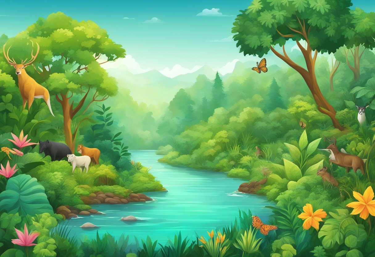
Ecosystems on the Global Canvas
Ah, ecosystems! The intricate web of life that surrounds us. From the tiniest microbes to the towering trees, everything is interdependent. But, what happens when we start to unravel this web? That’s where Eco-Mapping comes in. Let’s explore some of the ways in which Eco-Mapping helps us chart biodiversity and ecosystems on a global scale.
Conservation Crusades: Policies and Organizations
Conservation is the name of the game when it comes to Eco-Mapping. Policies and organizations work together to protect our environment and promote sustainable development. From the Convention on Biological Diversity to the World Wildlife Fund, there are many organizations dedicated to preserving our planet’s natural resources.
Humanity’s Footprint: Pollution, Climate Change, and Health
Unfortunately, humanity’s footprint can be a heavy one. Pollution, climate change, and health issues are all interconnected. Eco-Mapping helps us understand the impact of our actions on the environment and our own well-being. By mapping out areas affected by pollution and climate change, we can take steps to reduce our impact and protect our health.
Nature’s Network: Ecoregions and Environmental Information
Eco-Mapping wouldn’t be complete without a discussion of ecoregions and environmental information. Ecoregions are areas with distinct ecological characteristics. By mapping out these regions, we can better understand the unique ecosystems they contain. Environmental information, such as data on wetlands and pollination, helps us make informed decisions about how to protect our planet’s resources.
In conclusion, Eco-Mapping is an essential tool for charting biodiversity and ecosystems on a global scale. By understanding the impact of our actions and working together to protect our environment, we can ensure a sustainable future for generations to come.
Frequently Asked Questions
What’s the deal with space spies keeping an eye on Mother Nature’s mood swings?
Well, we wouldn’t exactly call them spies, but we get what you mean. Remote sensing technology, such as satellites, can gather data on our planet’s ecosystems from above. This allows us to monitor changes in biodiversity and ecosystems over time, which is critical for understanding and addressing environmental issues.
If biodiversity had a Facebook, what would its relationship status with remote sensing be?
It would definitely be “in a relationship”! Remote sensing technology plays a huge role in monitoring biodiversity and ecosystems. By providing a bird’s-eye view of our planet, it helps us track changes in vegetation, water quality, and more. This information is crucial for conservation efforts and protecting our natural resources.
Can you believe we’re using high-tech paparazzi satellites to snoop on ecosystems’ secret lives?
We prefer to think of it as “monitoring” rather than “snooping.” But yes, it’s pretty amazing what we can learn from remote sensing technology. By tracking changes in ecosystems over time, we can gain insights into how they function and how they’re affected by human activity. This information is critical for making informed decisions about conservation and resource management.
Who knew that ecological mapping is pretty much like creating a ‘Where’s Waldo?’ for critters and plants?
Well, we wouldn’t go that far, but ecological mapping does involve identifying and tracking the location of different species within an ecosystem. This information can help us understand how different species interact with each other and their environment, which is critical for protecting biodiversity.
Is ‘Essential Biodiversity Variables’ the next hot band, or just science geeks saving our skins?
We’re not sure about the band, but Essential Biodiversity Variables (EBVs) are definitely critical for understanding and protecting biodiversity. EBVs are a set of measurements and indicators that allow us to monitor changes in biodiversity over time. By tracking these variables, we can identify areas of concern and take action to protect our natural resources.
What happens when you mix remote sensing, ecology, and a pinch of evolution? Spoiler: It’s not a new smoothie flavor.
When you mix remote sensing, ecology, and evolution, you get a powerful tool for understanding and addressing environmental issues. By tracking changes in ecosystems over time, we can gain insights into how they function and how they’re affected by human activity. This information is critical for making informed decisions about conservation and resource management.