Lost at Sea: The Perils of Mapping the Deep Blue
Beneath the waves, there is a world that remains largely unexplored. The ocean floor is a mysterious and complex landscape that has fascinated humans for centuries. To map this vast and intricate terrain, oceanic cartographers face a multitude of challenges that require a combination of cutting-edge technology and old-fashioned ingenuity.
Mapping the depths of the ocean is no easy feat. The ocean floor is a constantly shifting and evolving landscape, shaped by waves, tides, and currents. Oceanic cartographers must contend with a variety of obstacles, from the rugged terrain of underwater mountains to the vast expanses of the ocean’s abyssal plains. To map these areas accurately, they must use a variety of tools, including sonar, satellite imagery, and underwater vehicles.
Oceanic challenges and charades are not limited to the physical landscape. Cartographers must also navigate political and economic obstacles, such as territorial disputes and funding shortages. Despite these challenges, the field of oceanic cartography continues to evolve and expand, revealing new insights into the hidden world beneath the waves.
Key Takeaways
- Oceanic cartography is a complex and challenging field that requires a combination of cutting-edge technology and old-fashioned ingenuity.
- Mapping the ocean floor requires cartographers to contend with a variety of obstacles, from rugged terrain to political and economic challenges.
- Despite these obstacles, the field of oceanic cartography continues to evolve and expand, revealing new insights into the hidden world beneath the waves.
Mapping the Depths
https://www.youtube.com/watch?v=KoOxTV3QIrM&embed=true
Ah, the depths of the ocean. A place where the sun doesn’t shine, but the creatures are plenty. Mapping the ocean floor is no easy feat, but us cartographers are up for the challenge. In this section, we’ll dive into the art of bathymetry, navigating the data sea, and technological tides.
The Art of Bathymetry
To map the ocean floor, we use a technique called bathymetry. It’s like topography, but for the ocean. We measure the depth of the ocean using various instruments, including satellites, instruments onboard ships, and even GPS. The measurements we take are then used to create maps of the ocean floor. However, distortions can occur due to the curvature of the Earth, and we must take this into account when creating our maps.
Navigating the Data Sea
With all the data we collect, navigating the data sea can be a challenge. We must ensure that our data is accurate and reliable. We use various data sources, including automated data processing and satellite observations, to ensure that our maps are up to date. The Gebco Seabed 2030 project, funded by the Nippon Foundation and the International Seabed Authority (ISA), is a great example of how we can work together to improve our ocean observation and mapping efforts.
Technological Tides
Technology has come a long way since the early days of ocean mapping. We now have instruments that can measure the depth of the ocean with incredible accuracy. Satellites equipped with altimetry sensors can detect changes in sea level, which can help us map the ocean floor. NASA’s Ocean Surface Topography Mission (OSTM)/Jason-2 satellite is a great example of how technology can help us improve our maps. We can also use imaging technology to create detailed maps of the ocean floor. Light detection and ranging (LIDAR) is one such technology that we use to create high-resolution maps.
In conclusion, mapping the depths of the ocean is no easy feat, but with the right technology and data sources, we can create accurate and reliable maps of the ocean floor. We must continue to work together to improve our ocean observation and mapping efforts, especially in light of climate change and its impact on our oceans.
Oceanic Challenges & Charades
As cartographers, we have faced a lot of challenges while mapping the ocean. Here are some of the challenges that we have encountered while creating maps of the ocean.
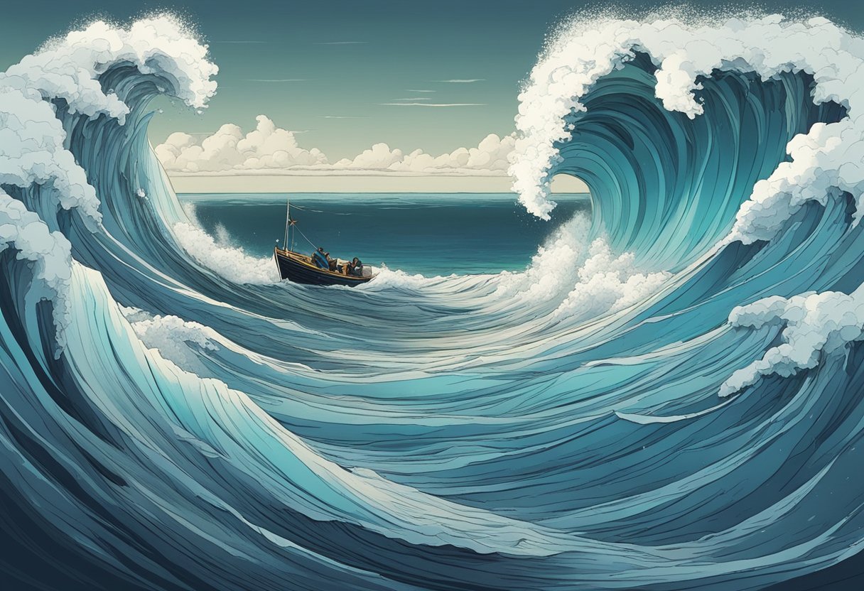
Wrestling with Weather and Water
Mapping the ocean is no easy feat. The ocean is vast and unpredictable, and the weather can be erratic. We have had to deal with storms, high winds, and rough seas while mapping the ocean. The Arctic Ocean is particularly challenging due to the extreme weather conditions and the presence of ice. We have had to use specialized equipment to map the Arctic Ocean accurately.
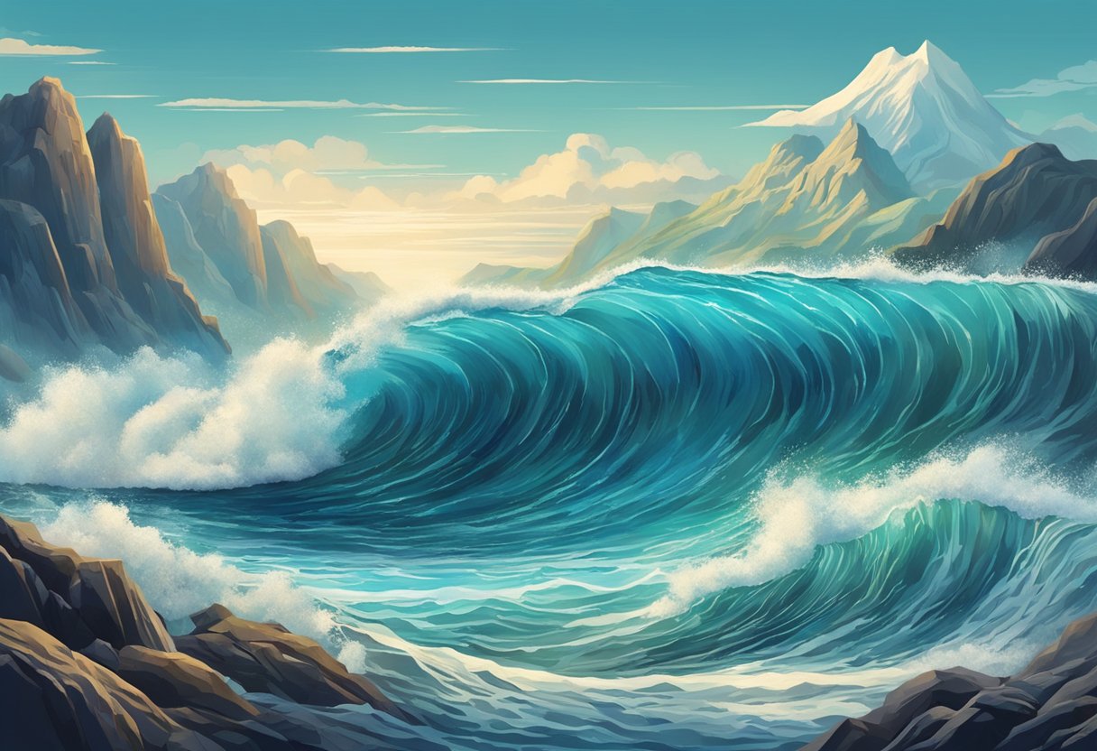
The Salty Science of Current Affairs
Currents are a significant challenge when it comes to mapping the ocean. The ocean is constantly in motion, and currents can change direction and speed unpredictably. We have to take into account the effects of refraction, which can cause distortions in the maps we create. We also have to consider the impact of internal waves, submesoscale currents, and oceanic fronts on the accuracy of our maps.
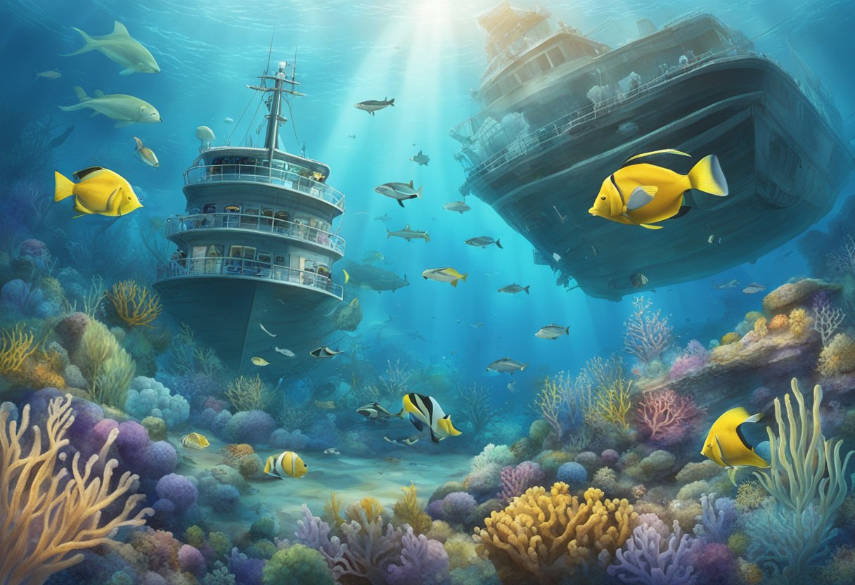
Conservation: A Deep Dive
Mapping the ocean is not just about creating accurate maps. It’s also about understanding the impact of human activities on the ocean and its life-filled ecosystems. Over-harvesting, pollution, and climate change are just some of the issues that we need to consider when mapping the ocean. We need to work towards sustainable development and international collaboration to protect the ocean and its resources.
In conclusion, mapping the ocean is a challenging task that requires a lot of skill and expertise. We need to continue to work towards improving our understanding of the ocean and its environment. The United Nations has declared the Decade of Ocean Science for Sustainable Development, which aims to promote education and research on the ocean and its resources. We need to continue to work towards these goals to ensure that we can create accurate maps of the ocean while protecting its environment.
Frequently Asked Questions
Why do cartographers get all wavy when mapping the ocean?
Well, it’s not because they’re seasick! The ocean is a complex and dynamic environment, with constantly changing currents, tides, and weather patterns. This means that mapping the ocean requires a different set of tools and techniques than mapping land. Cartographers need to take into account the depth and shape of the seafloor, as well as the movement of water above it. This can be challenging, but also exciting – every new map of the ocean floor reveals new mysteries and surprises.
What secrets is the ocean floor hiding under all that water?
The ocean floor is a fascinating and mysterious place, full of hidden treasures and strange creatures. It’s also a key part of the global ecosystem, playing a vital role in regulating the Earth’s climate and supporting marine life. By mapping the ocean floor, scientists can learn more about its geology, ecology, and history. They can also identify potential hazards such as underwater volcanoes, earthquakes, and landslides.
Could we have a history lesson on how we went from ‘Here be monsters’ to actual maps of the seabed?
Sure, let’s dive into the history books! For centuries, sailors and explorers had only a vague idea of what lay beneath the waves. Maps of the ocean were often filled with fanciful creatures and mythical sea monsters. It wasn’t until the 19th century that scientists began to develop the technology and techniques needed to map the ocean floor in detail. Today, we have sophisticated sonar systems, satellites, and underwater robots that allow us to explore the ocean depths like never before.
What fancy gadgets do scientists use to spy on the ocean’s nooks and crannies?
Ah, the toys of the trade! Scientists use a variety of high-tech tools to explore the ocean floor, including multibeam sonar systems, submersibles, and remotely operated vehicles (ROVs). These gadgets allow them to create detailed maps of the seafloor, collect samples of rocks and sediment, and even observe deep-sea creatures in their natural habitat. It’s like having a window into a whole other world!
Why can’t we just Google Map the ocean’s bottom like we do for street addresses?
As much as we love Google Maps, it’s not quite that simple. Mapping the ocean floor is a complex and time-consuming process that requires specialized equipment and expertise. Even with the latest technology, it can take years to create a detailed map of a single area of the ocean floor. Plus, the ocean is constantly changing, so maps need to be updated regularly to stay accurate. It’s a big job, but one that we’re up for!
Does mapping the ocean deeps mean we’re playing the ultimate game of Battleship?
Ha! We wish it were that easy. While mapping the ocean floor does involve a lot of guesswork and trial and error, it’s not quite as simple as calling out coordinates and waiting for a hit. Scientists need to use a variety of tools and techniques to create accurate maps of the seafloor, and even then there are still many unknowns. But hey, who knows – maybe one day we’ll get lucky and stumble upon a hidden treasure trove!